Truth & Goodness
Why Teen Addiction Begins Long Before the Crisis
28 July 2026
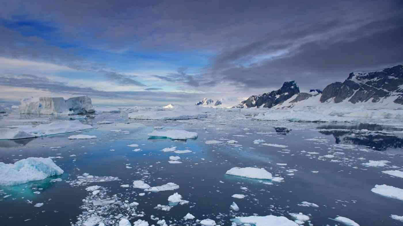
An international team of scientists has just unveiled the most sophisticated visualization of the Antarctic landscape ever created. This breakthrough reveals a rugged, alien terrain buried under miles of frozen crust, providing a vital tool for researchers to predict how fast the ice will melt. By utilizing this advanced Antarctica bedrock map, experts can now more accurately forecast the catastrophic pace of global sea-level rise.
Led by Helen Ockenden and Robert Bingham, the research team developed this comprehensive atlas using a blend of cutting-edge satellite data and innovative physics. Published in the January 2026 issue of Science, the study moves beyond traditional radar, utilizing a method known as “Ice Flow Perturbation.” This technique analyzes the subtle ripples and disturbances on the ice’s surface—essentially “reading” how the ice warps as it flows over massive obstacles 2 to 3 kilometers below.
Instead of relying solely on sporadic ground measurements, the team synthesized satellite imagery with existing thickness data and complex flow equations. Consequently, they have mapped the entire continent, illuminating vast “white spots” that had previously eluded human observation.
As it turns out, an incredibly diverse landscape hides beneath the massive ice sheet. Across an area larger than Europe, one can find mountains, deep valleys, vast plains, and riverbeds stretching for hundreds of miles.
This updated Antarctica bedrock map reveals nearly 72,000 hills at least 50 meters high—double the number suggested by previous models. In certain regions where earlier studies merely hinted at an “ancient river landscape,” the new data shows entire systems of deeply incised valleys. These formations resemble Alpine glacial valleys more than flat, level terrain. Researchers also discovered deep channels, the largest of which measures nearly 400 km in length, 6 km in width, and 50 m in height.
Landscapes are more diverse than previous geophysical studies conducted in specific locations assumed, and the newly discovered topography will help refine predictions of ice loss and sea-level rise,
– reports Science magazine.
Understanding the jagged “floor” of the South Pole is not merely a matter of curiosity; it is a necessity for climate survival. The friction created by these mountains and valleys determines the speed at which ice slides toward the ocean. Moreover, these channels dictate how warm seawater might “undercut” glaciers from below, accelerating their collapse.
Having the most accurate map of the Antarctic bed is critical,
– Robert Bingham of the University of Edinburgh told Reuters.
He emphasized that the shape of the terrain controls the friction acting against ice flow. Scientists must integrate these details into numerical models to forecast how quickly the ice will reach the sea and contribute to global flooding.
Ultimately, this detailed Antarctica bedrock map allows for more precise simulations of future sea-level rise. Armed with this data, global leaders can better design defense strategies for coastal regions facing the rising tide of climate change.
Read this article in Polish: Powstała mapa ukrytego świata. Góry i doliny pod lodem Antarktydy


A Journalism and Social Communication graduate with 15 years of experience in the media industry. He has worked for titles such as "Dziennik Łódzki," "Super Express," and "Eska" radio. In parallel, he has collaborated with advertising agencies and worked as a film translator. A passionate fan of good cinema, fantasy literature, and sports. He credits his physical and mental well-being to his Samoyed, Jaskier.


Zmień tryb na ciemny